Trails map of Winter Park / Central City / Rollins Pass (Colorado), # 103 | National Geographic
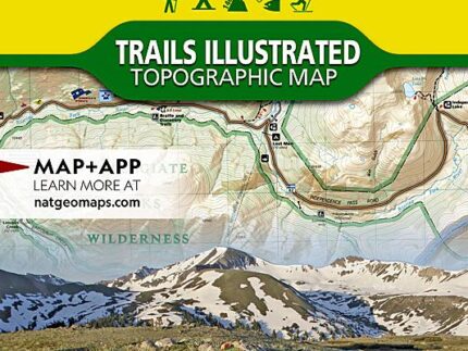
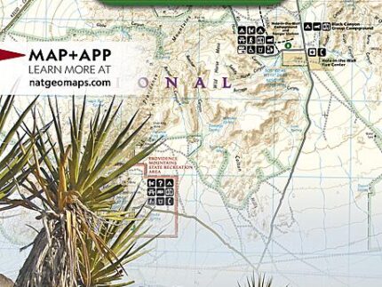
Hiking map of Winter Park, Central City & Rollins Pass (Colorado) published by National Geographic. This detailed map is the most comprehensive recreational map for the forest and wilderness areas surrounding and including Indian Peaks Wilderness, Winter Park, and Fraser, Colorado. This map covers Roosevelt and Arapaho National Forests, Indian Peaks and Byers Peak Wilderness, Eldora, Central City, Empire, Fraser and Winter Park, Berthoud Pass, Fraser River, Clear Creek, St. Mary’s Glacier and Peterson lakes. Also includes Fraser Experimental Forest, and a portion of the Continental Divide Trail. Ski Areas : Eldora, Winter Park and Mary Jane, and Devils Thumb cross – country ski area. Trails, trailheads, points of interest, campgrounds are included. Waterproof and tear resistant.
, # 103 | National Geographic")