Trails map of Poudre River / Cameron Pass (Colorado), # 112 | National Geographic
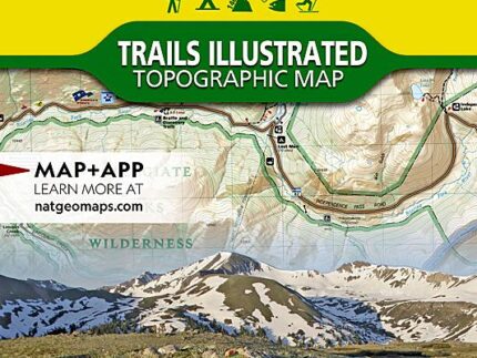
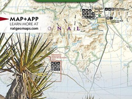
Hiking map of Poudre River, Cameron Pass (Colorado) published by National Geographic. This map is the most comprehensive recreational map for this beautiful area surrounding the northern portion of Rocky Mountain National Park in Colorado. This detailed map includes : Arapaho and Roosevelt national forests ; Pingree Park ; the Rawah ; Commanche Peak ; Neota wilderness areas ; Cameron, Montgomery and Grassy passes ; the Colorado State Forest ; the cities of Indian Meadows, Spencer Heights and Glen Echo ; Chambers Lake ; Cache La Poudre and Laramie rivers ; Comanche and Joe Wright reservoirs. Trails, trailheads, points of interest, campgrounds are included. Waterproof and tear resistant. Scale 1:40,680.
, # 112 | National Geographic")