Trails map of Carbondale / Basalt (Colorado), # 143 | National Geographic
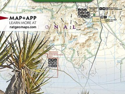
Hiking map of Carbondale & Basalt (Colorado) published by National Geographic. This detailed map covers White River National Forest. Carbondale and Basalt. Roaring Fork, Fryingpan, and Crystal Rivers. Mt. Sopris, Red Hill, Basalt Mountain and Sloane Peak. Basalt State Wildlife Area. Ski Areas : Sunlight. Trails, trailheads, points of interest, campgrounds are included. Waterproof and tear resistant. Scale 1:40,680.
, # 143 | National Geographic")