Ohio : state map : easy to read! | Rand McNally
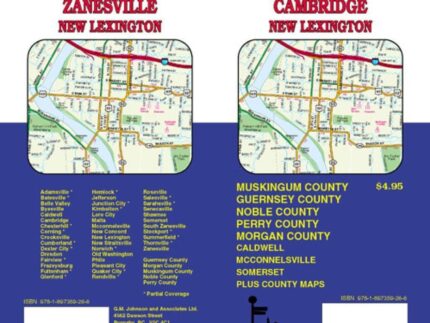
Rand McNally’s easy-to-read folded state map is a must-have for anyone traveling in and around Ohio, offering unbeatable accuracy and reliability at a great price. Our reliable cartography shows all interstate, U.S., state, and county highways, as well as clearly marked parks, points of interest, airports, county lines, and streets. The easy-to-use legend and detailed index make locating destinations quick and easy. You’ll see why Rand McNally folded maps have been the trusted standard for years.