Laminated road and tourist atlas – France (spiral-bound) – 2025 edition | Michelin
Spiral road atlas of France published by Michelin which has the advantage of being more resistant thanks to lamination .
100% laminated: this atlas is not afraid of water or kilometers! With this atlas, you have the possibility to draw your route with a felt-tip pen or a fluorescent pen , then erase with a damp cloth and your atlas is like new.
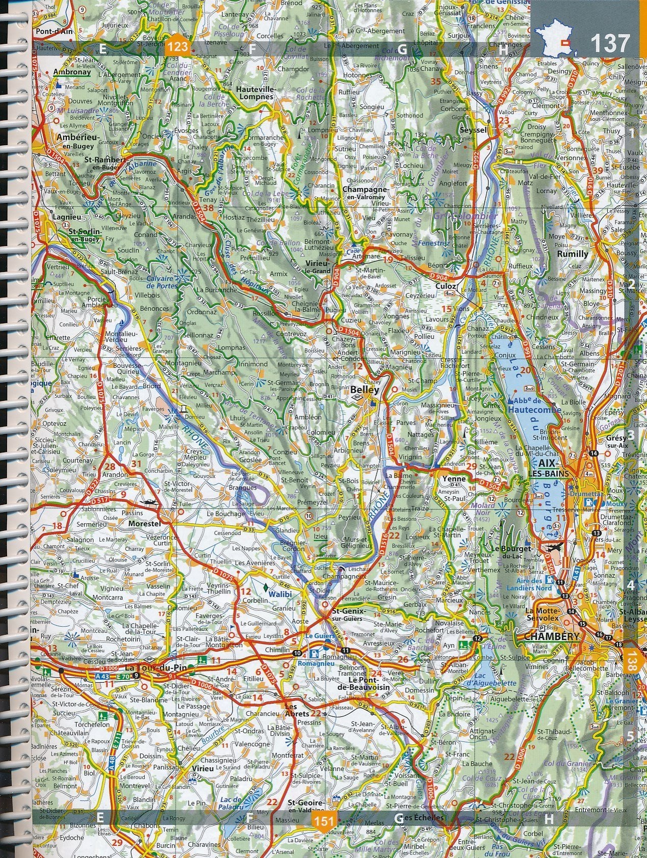
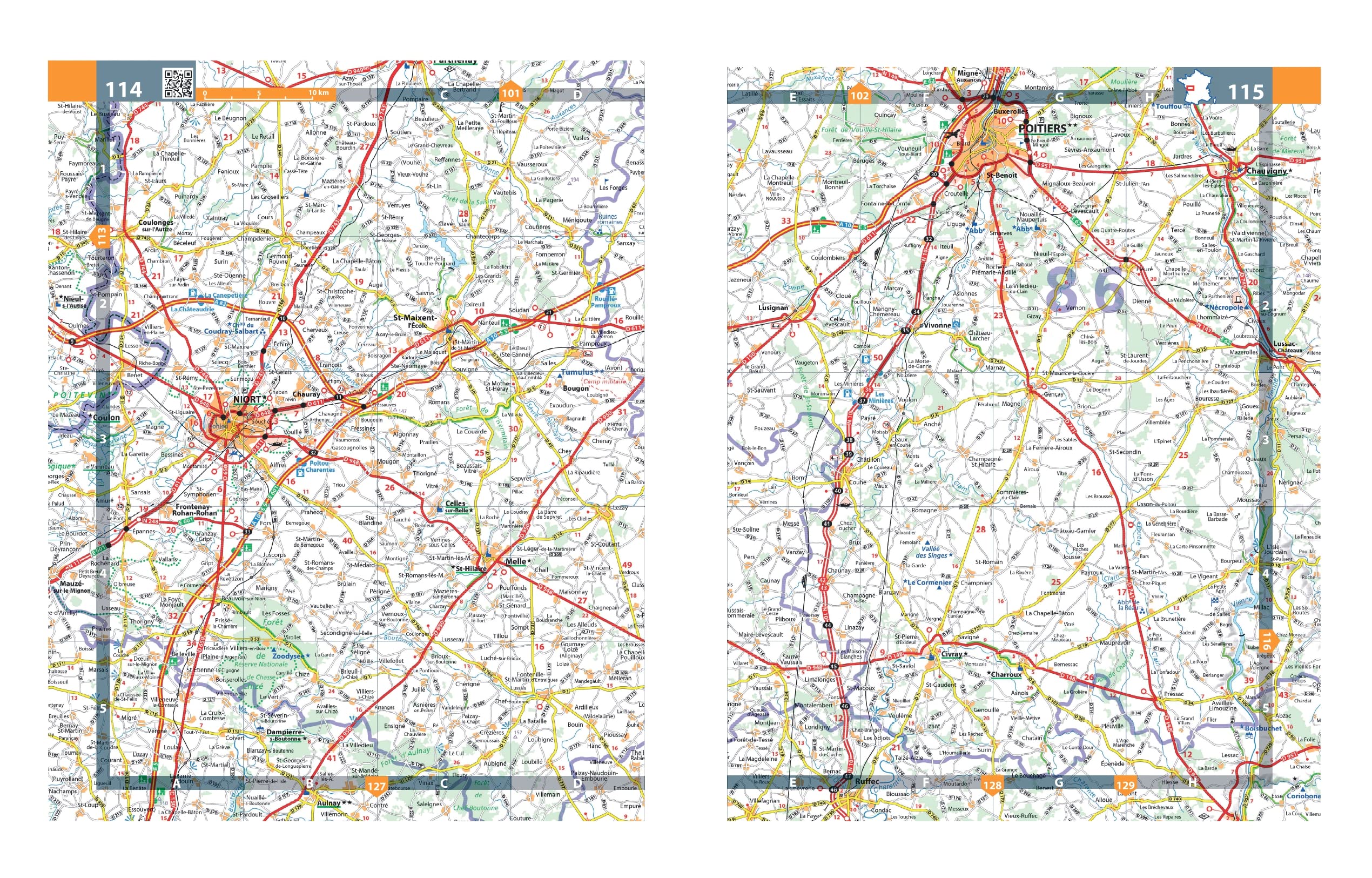
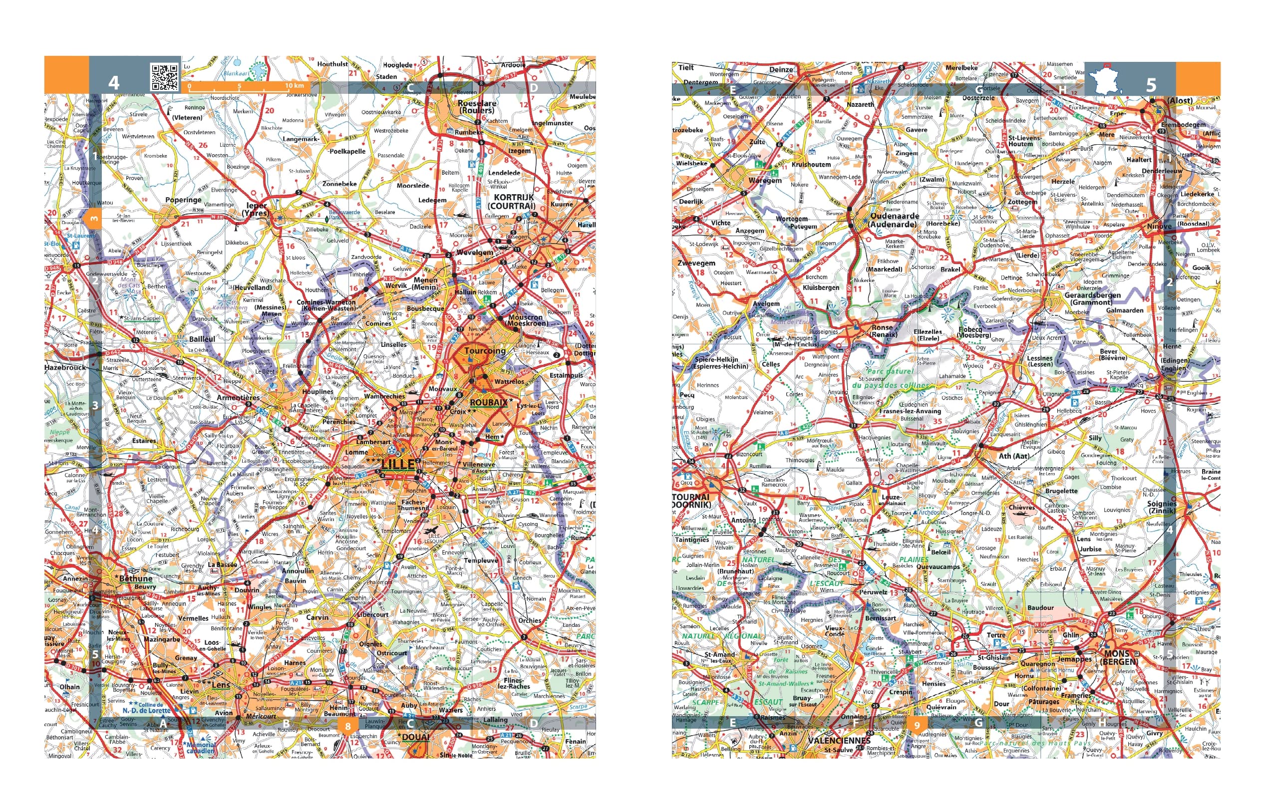
Michelin guarantees its fundamentals: reliable mapping at a scale of 1/250,000 (i.e. 1 cm = 2.5 km) updated each year by dedicated Michelin teams, a complete index of localities and a table of distances and journey times, brought together on an ultra-resistant support combining comfort and solidity.
Also included:
– Routes recommended by Michelin according to your needs. Ex: red for a long distance journey, yellow for a regional service, white for the last km – Michelin Safety Alerts inform you of dangers on the road: dangerous routes, passes, size limits, etc.
– Ultra-practical city maps, placed in their geographical context.
Scale 1/250,000 (1 cm = 2.5 km).


