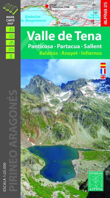
Hiking map – Tena Valley (Aragonese Pyrenees) | Alpina
Detailed map of the Tena Valley (Aragonese Pyrenees, Top Gállego). The Topographic map is 1:25 000 with information of interest: marked trails (GR, PR, SL), trails, climbs, dolmens, waterfalls, etc.
The folder, included with the map, brings additional information:
• Practical information
• Refuges
• Hiking
• Top14: Points of interest


