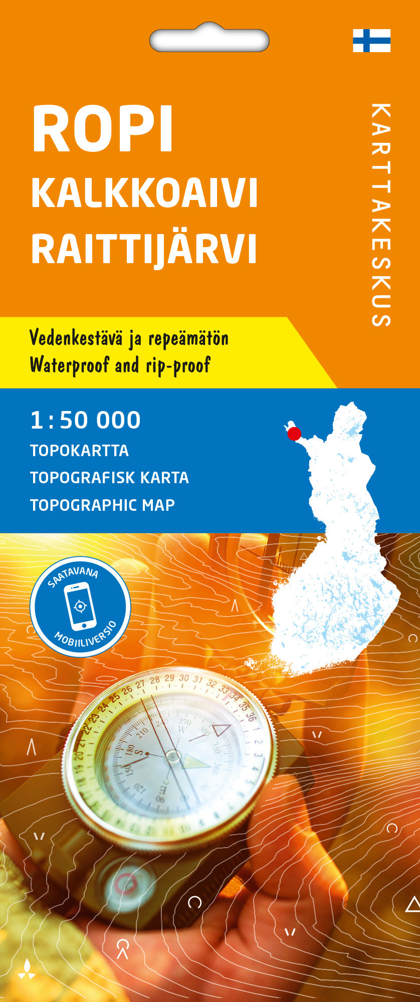
Hiking Map # 8 – Ropi Kalkoaivi Raittijärvi (Lapland) | Karttakeskus
Topographic map of Lapland, printed on a waterproof material and resistant to tear. The map can withstand intensive use and folding, and will not tear – even in difficult conditions.
Mapping comes from the National Land Survey of Finland.
It shows edge and reserve areas Natural accessible accessible, with different symbols. The mapped area also continues in Norway and Sweden in border areas.
There are 12 maps in this series that covers all laponia at 1/50,000 scale.


