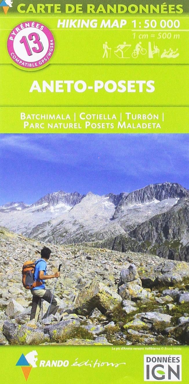
Hiking map # 13 – Aneto and Posts (Pyrenees, Spain) | Rando Editions (French)
Detailed topographic map of aneto peak and posets. Pyrénées Hiking map # 13, edited by Rando Editions, which covers the area of Pic Aneto, posets and National Poles Poles – Sickta. Hiking map with level curves and information useful for mountain practice included.
Cover: Bachimala, Cotiella, Turbon, National Park Posets – Sickta


