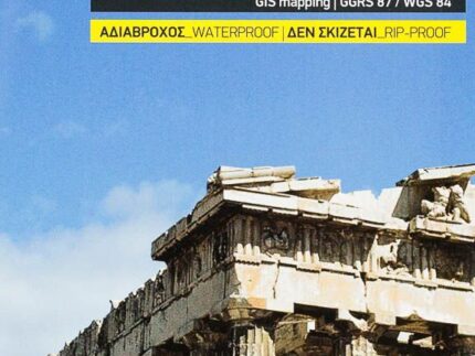
City map – Athens, Cultural Map | Anavasi
The evolution of Athens in time is presented for the first time by the new publication Ancient Athens – Modern Athens.
What would Athens be if Eridanos and Ilissos always crossed the city? What were the consecutive fortifications of the city? The map of ancient Athens shows the center of the ancient city. At the back is a detailed plan of the ancient agora as well as monuments and slopes of the Acropolis.
The modern atenea map identifies the buildings that have forged architectural identity of the city. It reveals the location of museums, churches, as well as metro and tram stops, among other points of interest. In the back, you will also find trails crossing the national garden and Zapaion.


